Sorry! This page is not yet available in your preferred language, so we're displaying the original version instead.
The terrain at the ALMA site

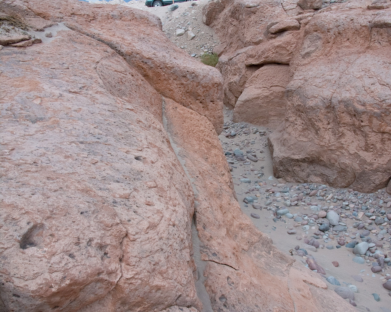
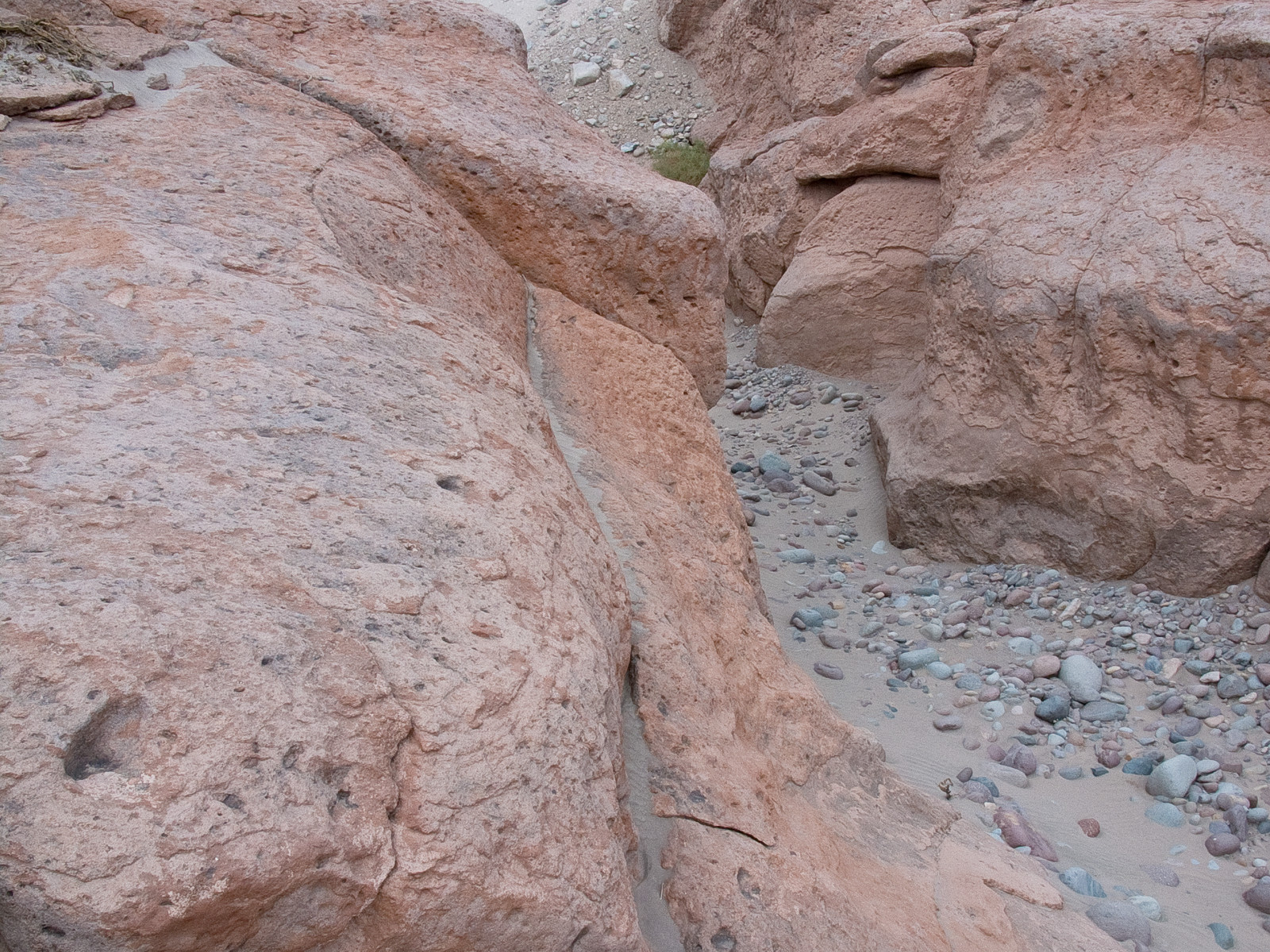
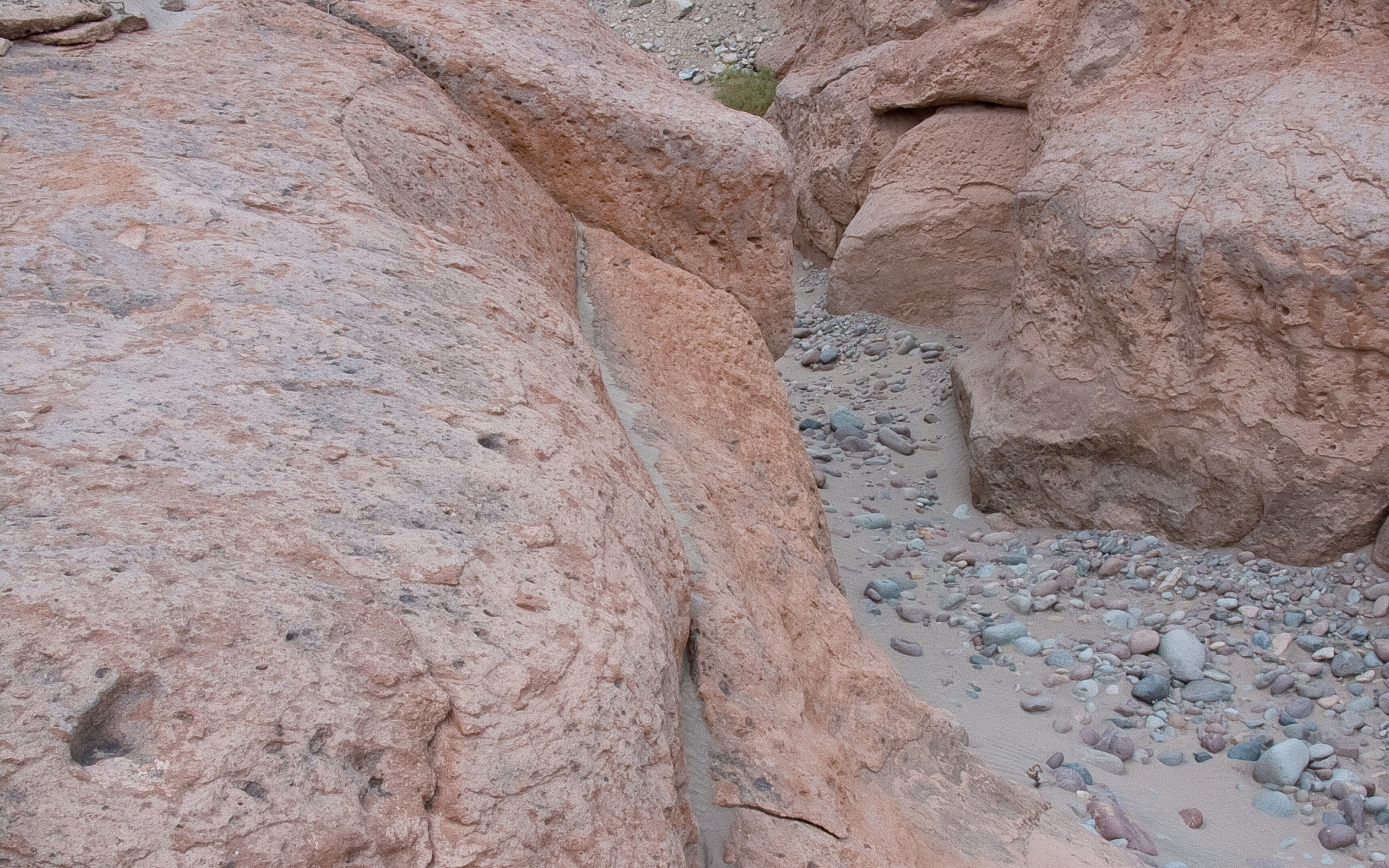
In the picture, a typical reddish rock formation along the road that goes up to the Chajnantor plateau, home of the Atacama Large Millimeter/submillimeter Array. Around and above the ALMA Operations Support Facility (OSF), located on the same road at 2900 m altitude, many grooves and gullies produced by the water flow, which was probably more abundant in the past, can be observed.
Kredit:ALMA (ESO/NAOJ/NRAO)
O snímku
| Id: | alma-hh-21 |
| Typ: | Fotografický |
| Datum zveřejnění: | 14. června 2010 17:55 |
| Velikost: | 1920 x 2552 px |
O objektu
| Jméno: | Chajnantor |
| Typ: | Unspecified : Technology : Observatory |
| Kategorie: | ALMA |