Pahoittelumme! Tämä sivu ei ole vielä saatavilla haluamallasi kielellä, joten näytämme sen sijaan alkuperäisversion.
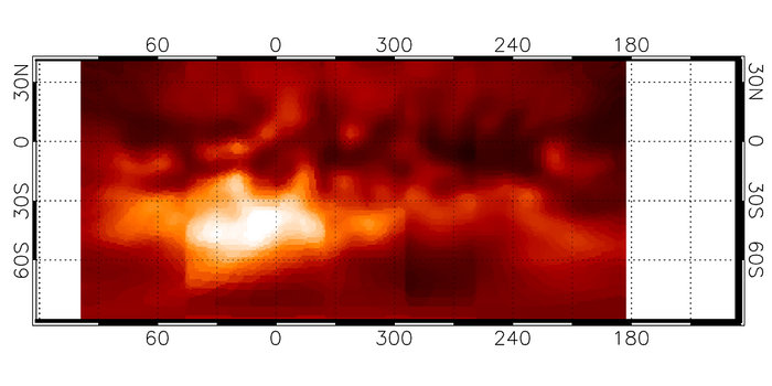
Map of Titan's surface features
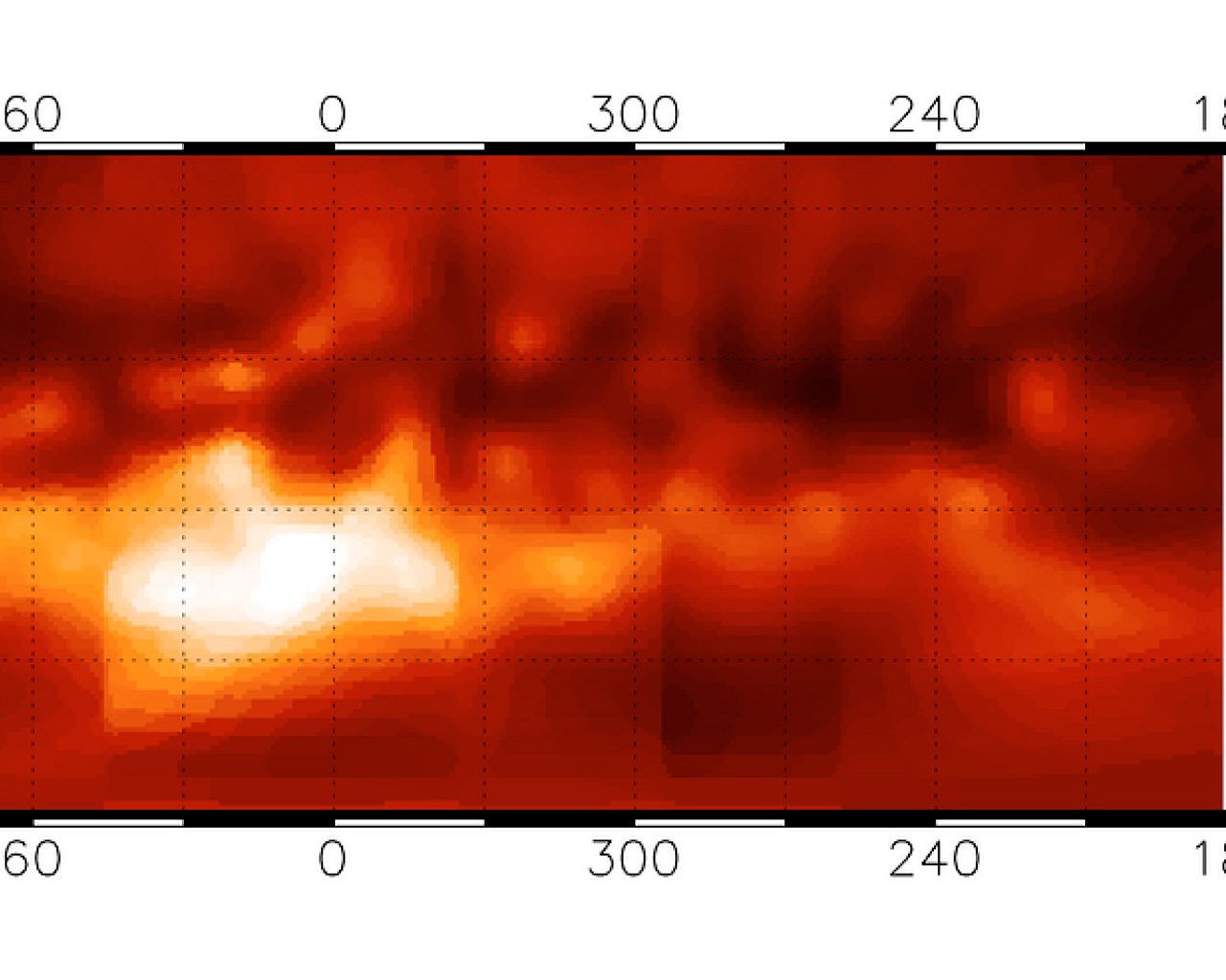
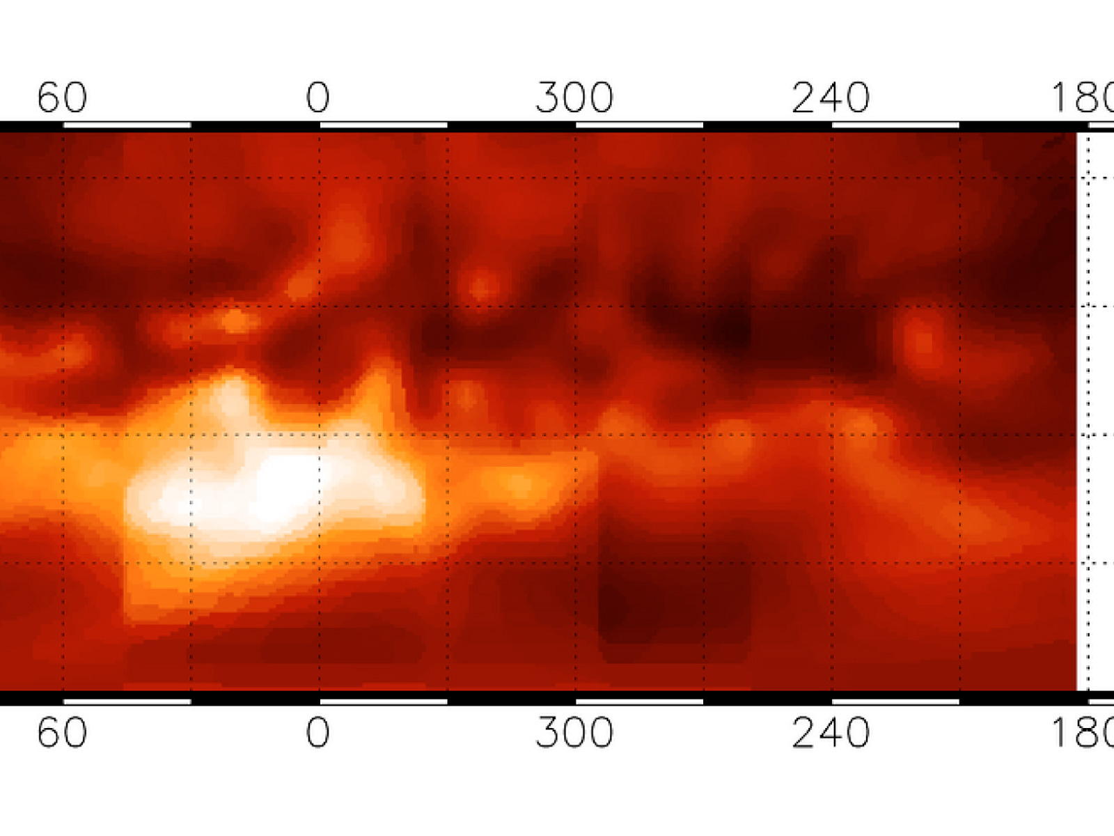
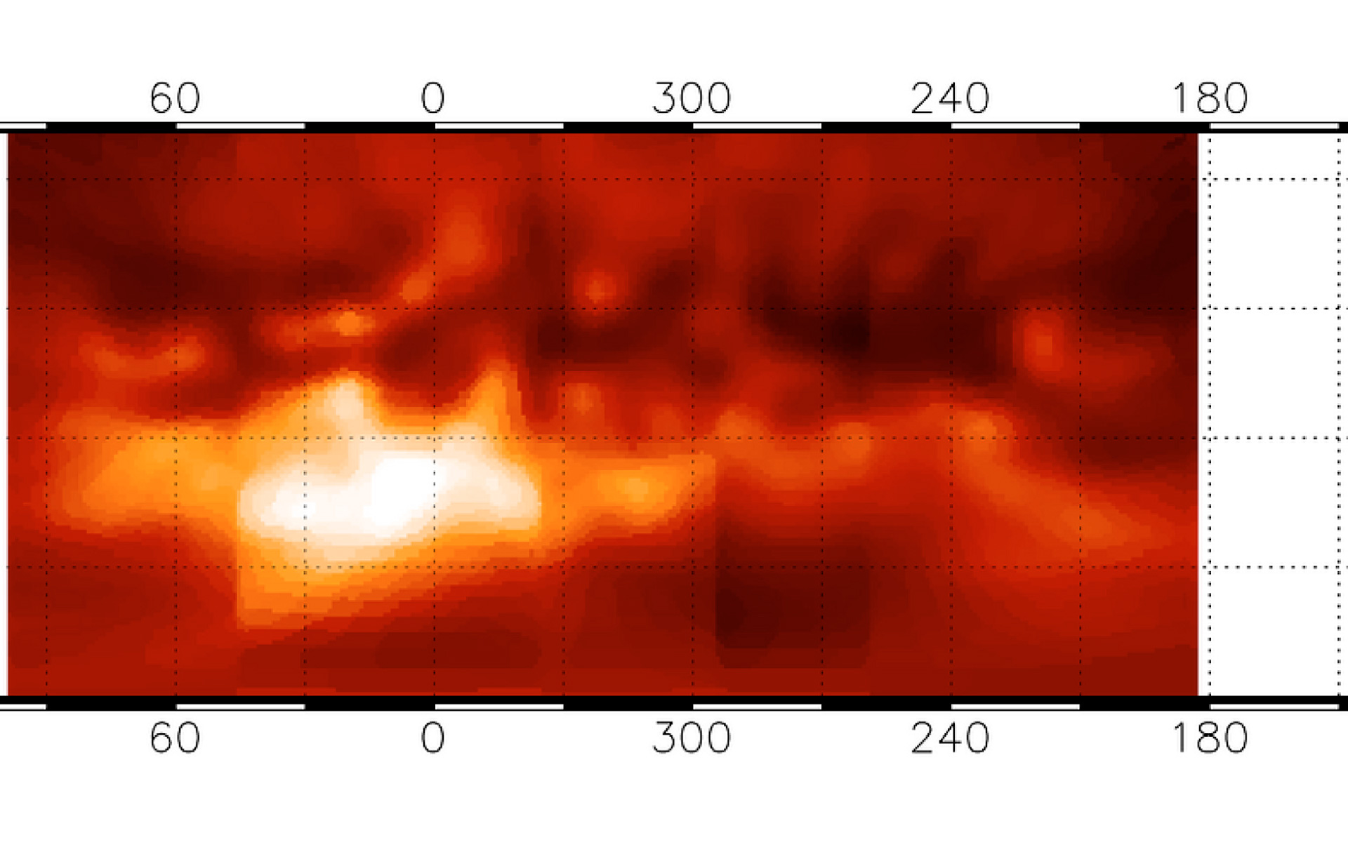
Map of Titan's surface features. It was obtained through a "transparent", narrow spectral window with the 8.2-m VLT YEPUN telescope and the NACO adaptive optics instrument operated in the Simultaneous Differential Imager (SDI) mode. It covers about three-quarters of the full surface and has an image resolution (sharpness) of 0.06 arcsec, corresponding to 360 km on the surface. One degree of longitude on the equator corresponds to 45 km on Titan's surface. The brightness is proportional to the surface reflectivity. The nature of the various regions is still unknown although it is speculated that the darkest areas may indicate the extent of reservoirs of liquid hydrocarbons.
Oikeudet:ESO
Kuvasta
| Tunnistus: | eso0412a |
| Tyyppi: | Havainto |
| Julkaisupäivä: | 14. huhtikuuta 2004 |
| Vastaavat julkaisut: | eso0412 |
| Koko: | 1920 x 805 px |
Kohteesta
| Nimi: | Titan |
| Tyyppi: | Solar System : Planet : Satellite : Feature : Surface |
| Kategoria: | Solar System |
Taustakuvat
Värit ja suotimet
| Kaista | Aallonpituus | Teleskooppi |
|---|---|---|
| Infrapuna Near-IR | 1.575 μm | Very Large Telescope NACO |