
![[Image - Cleaning the Beaches]](../img/cleanx.jpg)
![[Image - Oil-covered duckling - 12Kb]](../img/duck.jpg)
![[Image - aerial surveillence - 8Kb]](../img/air1.jpg)
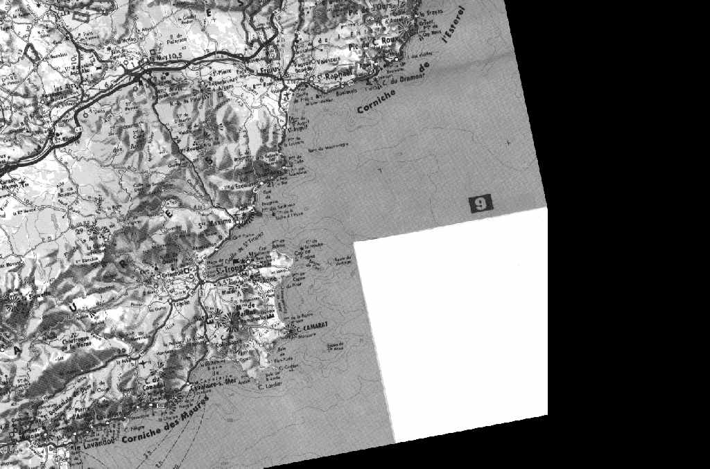
In some countries in the Mediterranean Sea, aircraft regularly patrol the coasts monitoring ship movements and marine pollution. In the open seas, surveillance is very scarce or completely absent.
In the case of a small, "closed ocean" like the Mediterranean, where the environment is particularly delicate, monitoring from Space is also necessary.
![[Image - ERS-1 Satellite]](../img/ers1.gif)
The image we provide has been taken by the ERS satellite (right) built and launched by the European Space Agency. There is a Radar aboard, able to watch the Earth's surface even through clouds and in darkness. Radar-images look similar to photographs but their interpretation is different (see the Radar Mini-Tutorial).
![[SAR image showing oil smoothing rough water]](../img/sar_full1.jpg)
In a radar image the ocean is not blue but black and white and also
has a lot of strange features. As a general rule, the brighter the sea
surface the rougher the sea (the higher the wind speed). But oil on the
water dampens the rough surface and it becomes smooth again (and dark,
as it is shown in the image).
But our image (below) is coloured! This is because it is composed by 3 images taken on 3 different days. In order to distinguish the information coming from each of these days, each image was given a different colour:
All images were acquired at the same time of the day, at 10:20 GMT. If all the 3 images were identical, we would expect a black-and-white image, because in each point of the image we would find an equal amount of blue, green and red. And every change would be seen as colour: e.g. a little less blue with constant green and red would turn the colour from gray to yellow, etc.
So, the colours in the image are linked to changes in radar response or backscatter within this period of time. Although it is a very short period, backscatter on the Sea may change rapidly because of the wind conditions (see the Radar Mini-Tutorial). The magenta on the Sea indicates stronger winds on 13 and 25 September. The horizontal blue/magenta line is a wind-front announcing the arrival of a weather change on 25 Sept.
In the lower right corner we can discover an oil slick! It is of magenta colour. On the black-and- white image of the day the individual satellite image was taken this slick appears in black! (Why? Because the oil dampens the waves and the surface is smooth there. A smooth surface appears dark or black in the radar image).
But oil slicks drift with the current and little also with the winds. In our case the drifting is about 320m per hour. The current is westwards. So, the oil will reach the coast. When? We have to do something!
![[Image - Oil Slick]](ex1-img.gif)
If your browser supports JAVA, you can view the applet that permits you to see the individual channels and the map. Otherwise you can simply view the map.