Ci scusiamo. Questa pagina non è ancora disponibile nella lingua scelta e perciò viene mostrata la versione originale.
The terrain at the ALMA site
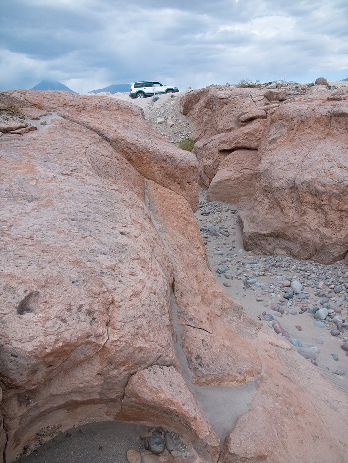
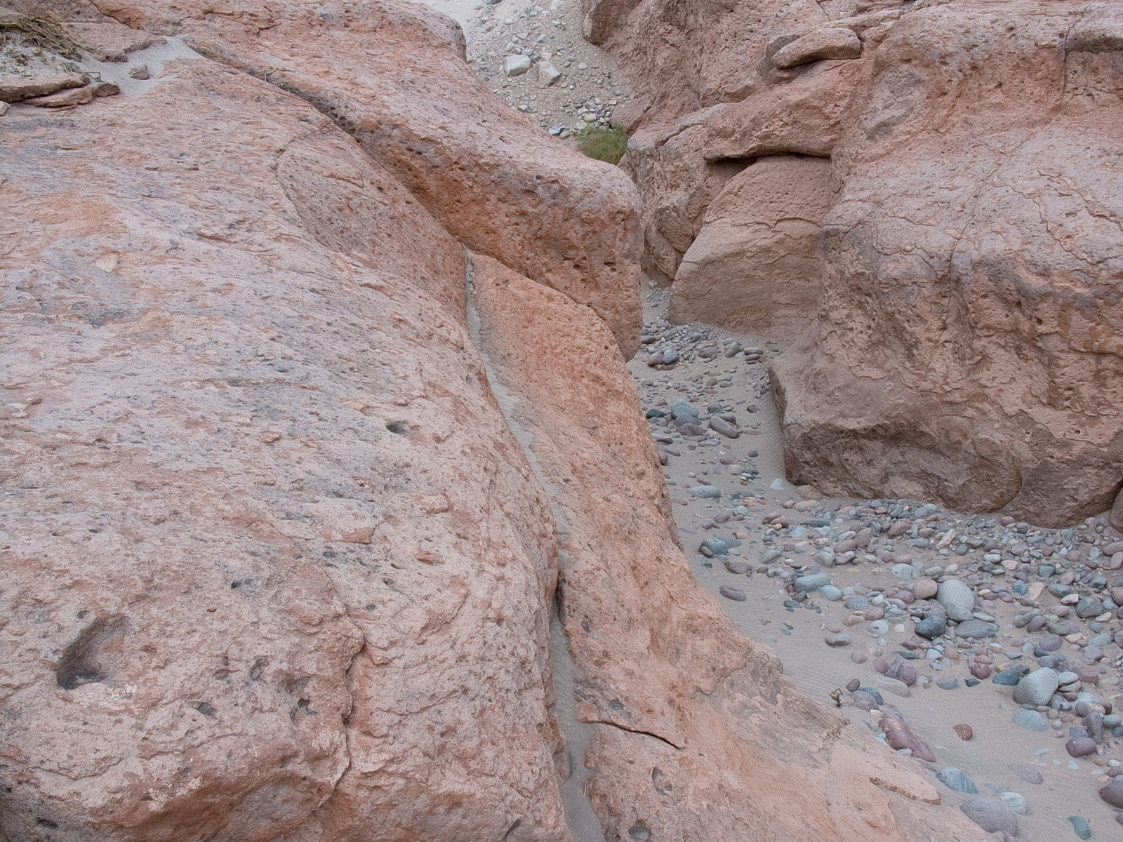
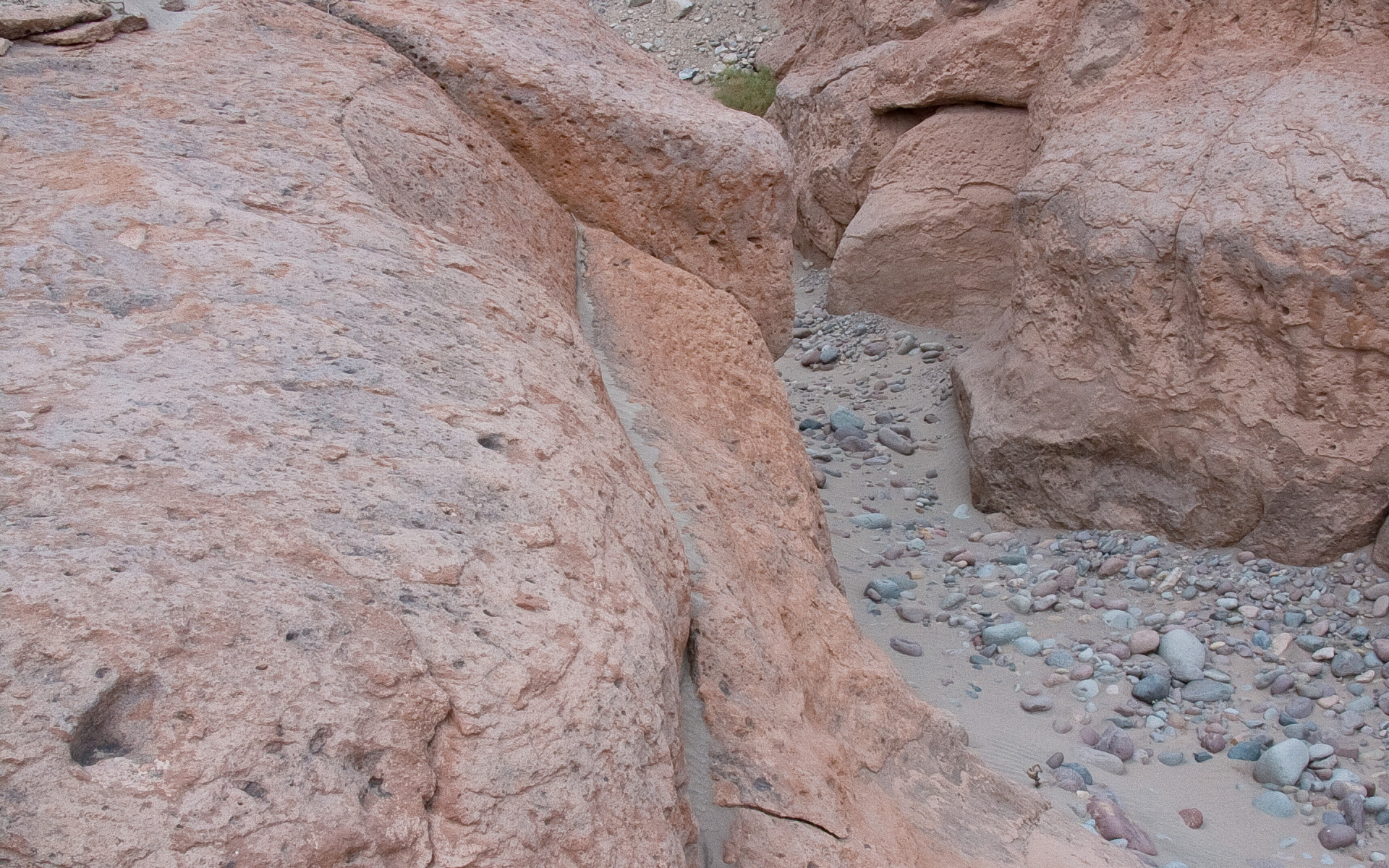
In the picture, a typical reddish rock formation along the road that goes up to the Chajnantor plateau, home of the Atacama Large Millimeter/submillimeter Array. Around and above the ALMA Operations Support Facility (OSF), located on the same road at 2900 m altitude, many grooves and gullies produced by the water flow, which was probably more abundant in the past, can be observed.
Crediti:ALMA (ESO/NAOJ/NRAO)
A proposito dell'immagine
| Identificazione: | alma-hh-21 |
| Tipo: | Fotografico |
| Data di pubblicazione: | Lunedì 14 Giugno 2010 17:55 |
| Dimensione: | 1920 x 2552 px |
A proposito delll'oggetto
| Nome: | Chajnantor |
| Tipo: | Unspecified : Technology : Observatory |
| Categoria: | ALMA |