Przepraszamy! Ta strona nie została jeszcze przygotowana w Twoim języku, wyświetlamy zatem wersję angielską.
The terrain at the ALMA site
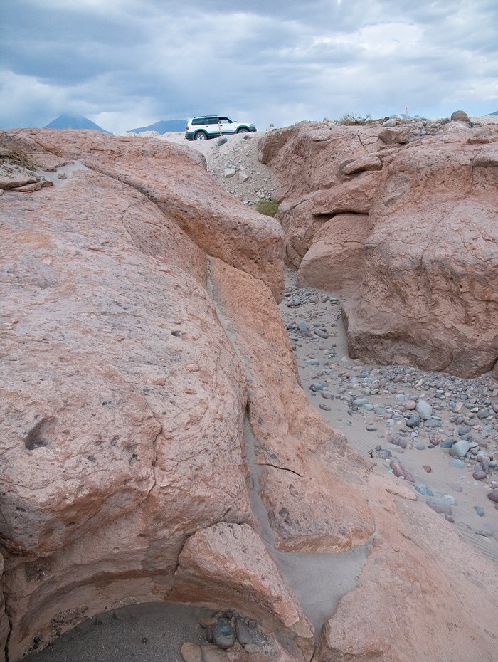
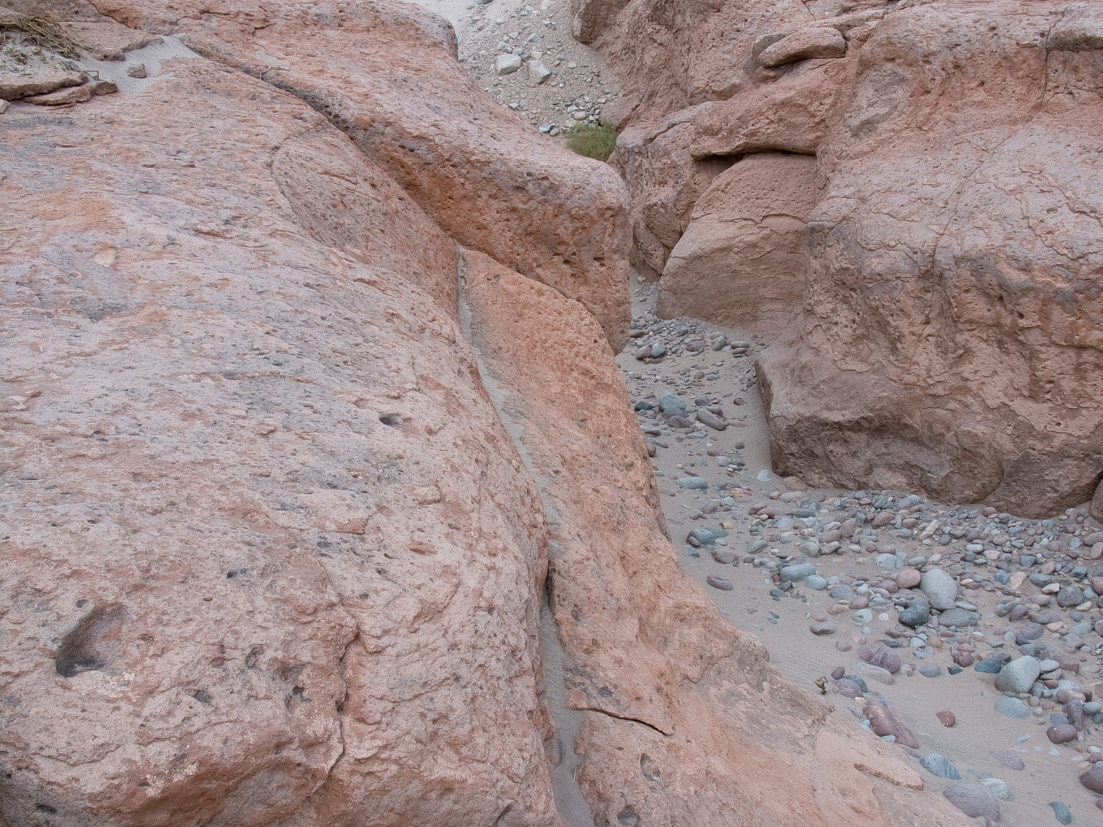
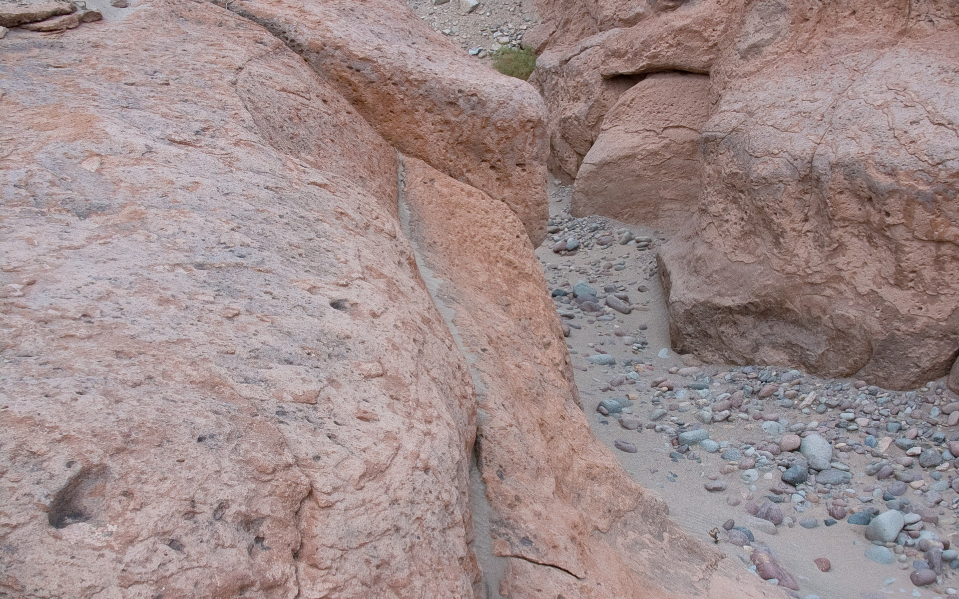
In the picture, a typical reddish rock formation along the road that goes up to the Chajnantor plateau, home of the Atacama Large Millimeter/submillimeter Array. Around and above the ALMA Operations Support Facility (OSF), located on the same road at 2900 m altitude, many grooves and gullies produced by the water flow, which was probably more abundant in the past, can be observed.
Źródło:ALMA (ESO/NAOJ/NRAO)
O zdjęciu
| Identyfikator: | alma-hh-21 |
| Typ: | Fotograficzny |
| Data publikacji: | 14 czerwca 2010 17:55 |
| Rozmiar: | 1920 x 2552 px |
O obiekcie
| Nazwa: | Chajnantor |
| Typ: | Unspecified : Technology : Observatory |
| Kategoria: | ALMA |